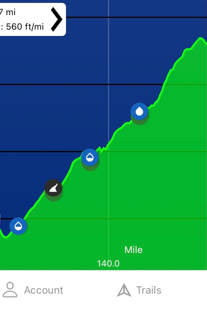
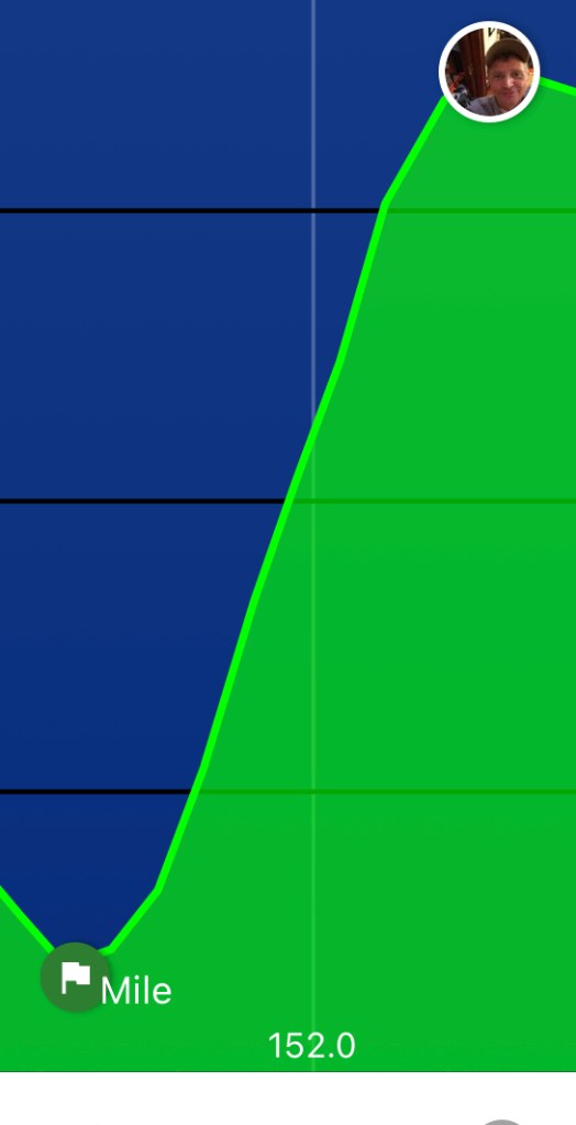
This past weekend I hiked the section of the Appalachian Trail between the Nantahala Outdoor Center (NOC) and Fontana Dam, northbound. This section is 27.8 miles, or ~45km. Bottom line up front – For a thru hiker, from either direction, to have reached this point it should easily only take two days. But I’m a desk jockey during the week, and a weekend warrior on the trails. I should have planned to do it in three days. Here is a profile of the section, from my Guthook app (the red arrow is where I made camp):

I drove up Thursday afternoon, and it started raining shortly after I got out of Atlanta. It was off and on until after sunset, after I had already made it to Fontana Dam, at which time it started raining pretty steady. Nonetheless, I was able to snap a pic of me in front on the Dam during a break in the rain:

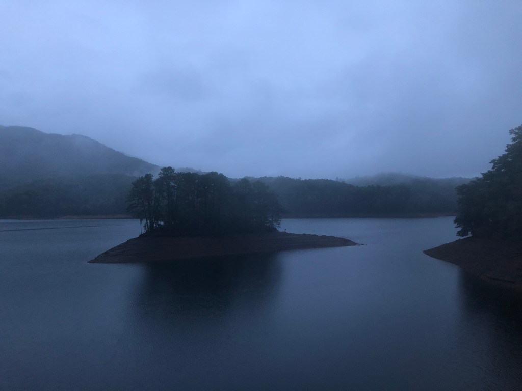
On the way up I was not sure where I was going to stay the night. I considered sleeping in my car. Once up there I decided to check out the Hilton and see what it was like:

My concern was that it would be full of weekenders and I didn’t want to deal with that. There was only one man there, and since it was already late I decided he was going to be the only other person there. So I set up my bunk. Eventually he and I chatted. His trail name is Gray Beard, and he thru hiked the AT in 1999 and the PCT in 2008. He’s 80 years old now, and his wife dropped him off so he could do the Smokies section again – He worked many years as a ridge runner in the Smokies. We chatted for a long time. Great guy.
It rained really hard most of the night. Eventually I just got up and made breakfast – Standard trail breakfast of three packs instant oatmeal and coffee. I was still hungry though so made a mental note to stop at the NOC general store before starting my climb.

My shuttle picked me up at the visitors center at 8AM and it took around 30 minutes to reach NOC. I chatted with some SOBOs while I waited for the store to open – I did not catch their names, but they were really excited they were down to their last 150 miles. I finally got on the trail at 9:15.
The climb out of NOC is legendary, in both directions. (Personally, I think SOBO has got to be worse – Thankfully I was NOBO.)
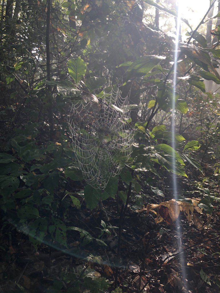
Over 6.22 miles (~10km), you climb around 2600 feet (~792m), and the trail is not at all well marked at times, it’s frequently filled with obstacles, and it was slick with rain from the night before. It was a very tough climb, and it took me 4 hours. Here are some pics from my ascent:

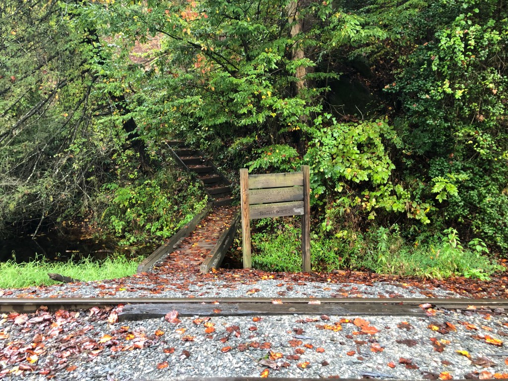
It was a quick hike from there to Sassafras Gap Shelter where I decided to make this little video as I had lunch:
That’s my first video ever! I’m so proud of my dorkiness!
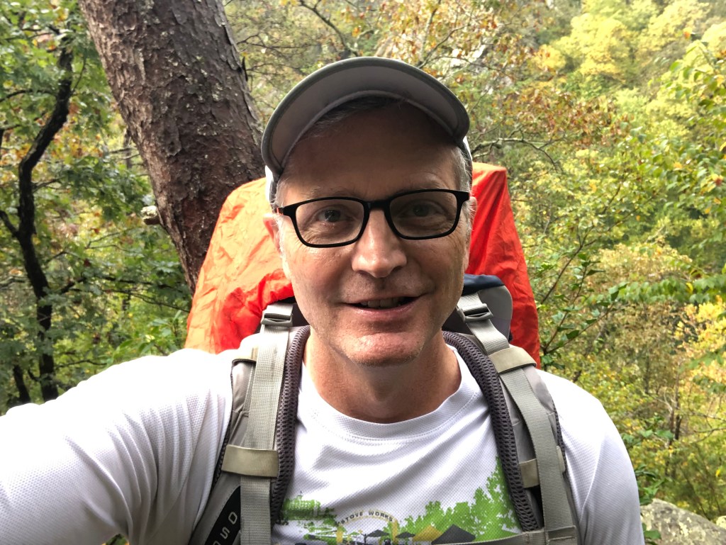
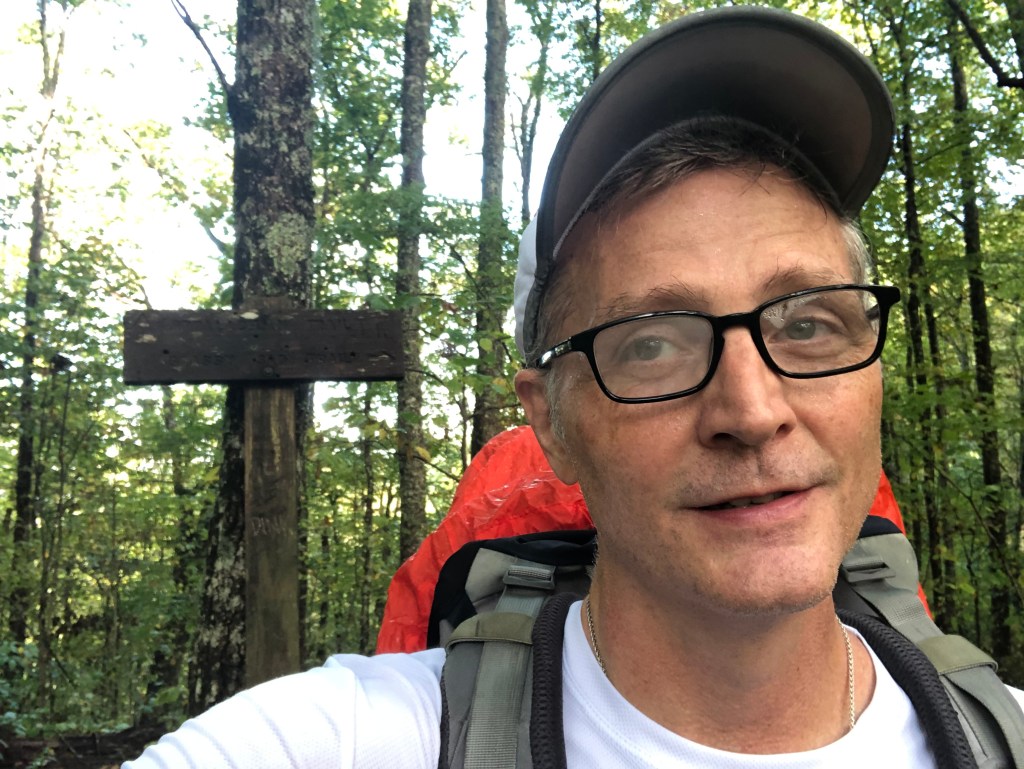
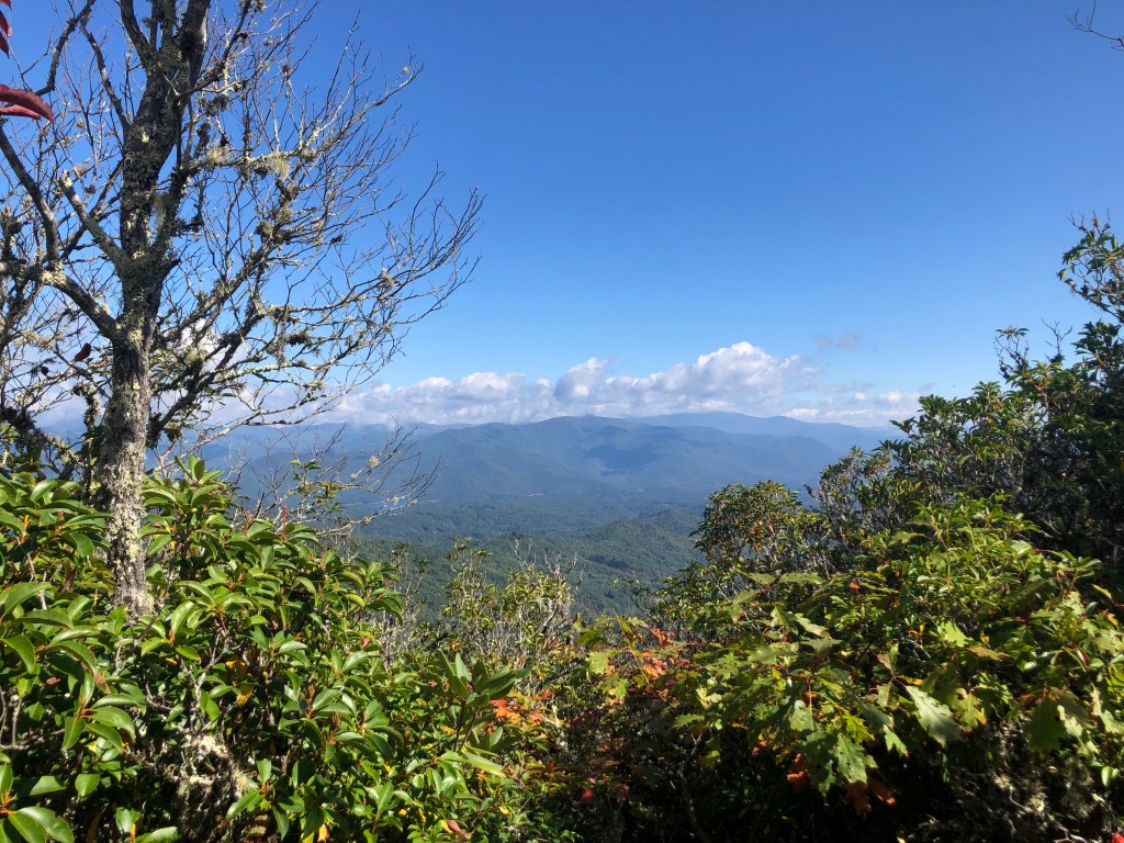
From there it was a quick hike up Cheoah Bald, the highest point of this section (5052 feet, or 1,540m, above sea level). I’m starting to look tired:

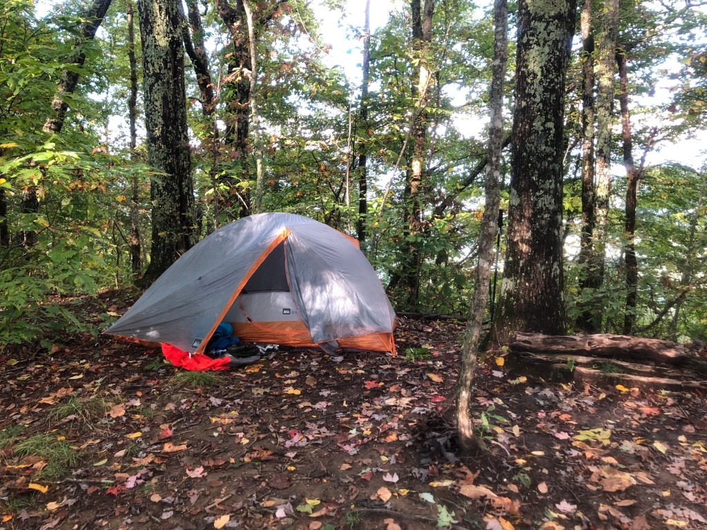
There’s a long descent from Cheoah to Locust Grove Gap. I met a wonderful young family at Locust Grove – A young couple hiking with their two little girls (one was 9 years old, and the other was 4), and a most rambunctious doodle-dog. I said something about not having a headlamp and the dad immediately just gave me one. I offered money, or to mail it back once I got home. He said no. The trail provides. Eventually I made it a couple more miles before my legs told me they were done. So I set up camp:
In hindsight, I should have gotten water at Locust Grove Gap because my camp was a ways from the next water source and I only had a liter for the night and morning.
Side note: I do this bizarre thing that I cannot quite figure out. After a long day on trail, and sometimes after a long run back when I used to run, I will get really intense shivers about an hour after I stop. By this point I would have changed out of my wet clothes, so it’s not from being actually cold. Anyone else have that? What do you do about it? I had them this night, and they lasted about an hour, and then I fell asleep.
Saturday I woke up early to the sounds of critters I’d never experienced before making mischief near my tent. But it’s always such a good feeling to find nothing has molested your food bag during the night.
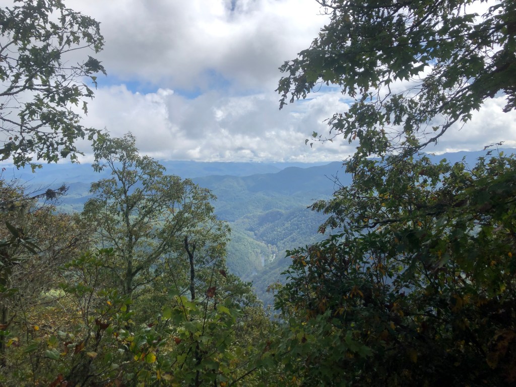
I was on the trail by 7:30, and my first order of business was to find water. My navigation app said there would be a water source near Stecoah Gap, and that was about an hour away. I did have a nice sunrise to enjoy, before I descended into the rainy valley below:

The water source at Stecoah Gap is not too close to the trail. It’s down a closed road that is heavily grown over with all sorts of brambles. But there was a good flow. Once my bottles were filled I went back to the gap to make breakfast. (There were a couple guys meeting up with a shuttle at Stecoah Gap – Turns out they are trail runners, and I would meet them on the trail a couple hours later as they ran past me SOBO. They asked how my breakfast was.) By 9:30 I was on my way. This was the start of a very long day!
First up, Jacobs Ladder – It’s named this because the dang trail climbs straight up 800 feet (244m) in about 0.5 miles (800m). Here’s how it looks on Guthook, and a pic I took of it:

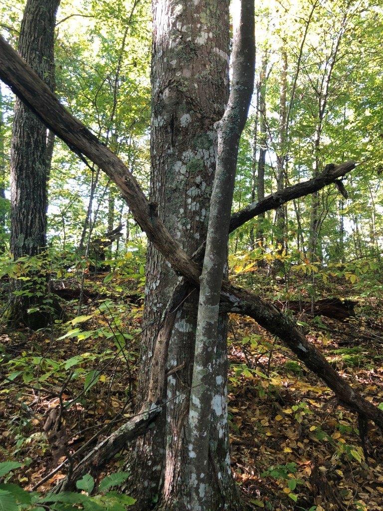
My legs were still fresh so I got over it in about 40 minutes. Coming down the other side was not much better than going up. I stopped at Brown Fork Gap Shelter for food, and subsequent ablutions. It’s a creepy shelter. Shortly after leaving the shelter, I stumbled across this Blair Witch looking thang:
This next section of trail is the stuff you want to write home about. It was lovely with gently rolling ups and downs, and I actually enjoyed it. And dang I made good time through there!
Nothing too eventful during this section until I got to Cable Gap Shelter. I stopped there to have a bite before the final climb of the trip. I scarfed down two bags of tuna. I chatted with a guy retired from the USFS. He was using old-school large paper maps to navigate the trail. Kudos on him.
I left there just before 3PM and had cleared the last of the climbs by 4:10 and was starting my descent to Fontana. Good golly that was a tough descent! In all, it took me more than 2 hours to descend the final 4.4 miles (7.1km). In all, I hiked for around 11 hours on Saturday. Once back at my car I took a quick shower at the Fontan Dam visitors center, and then headed back to Atlanta. I was beat Sunday, so I basically lounged about and napped the whole day.
Soooo, that was my weekend. I hope you enjoyed reading about it.
#GenX #GenerationX #Retirement #Adventure #Backpacking #ursack #Gear #AppalachianTrail #MountainHouse #MountainHouseMeals #UrsackBearBag #opsak #NOC #NantahalaOutdoorCenter #FontanaDam #FontanaHilton #Tabasco
